The UK coastline has many designated walks and hiking trails that are blessed with amazing views, local wildlife and historical landmarks. Whether you’re a regular walker or an interested beginner, there are many options to suit. Many of the walks have links to the nation’s ancient past, from 7,500-year-old footprints preserved in silt beds to secret radar stations that operated during WWII. This is coupled with dramatic coastal views, including famous sites like the Giants Causeway and The Needles.
As there are many coastal walks all over the United Kingdom, many varieties of plants and animals can be seen. Among the most famous being the seal colony in Blakeney, but you may also glimpse dolphins and porpoises. If you’re a birdwatcher, there are many breeds of sea birds to spot with nesting and breeding locations a regular attraction along many walks.
- 1
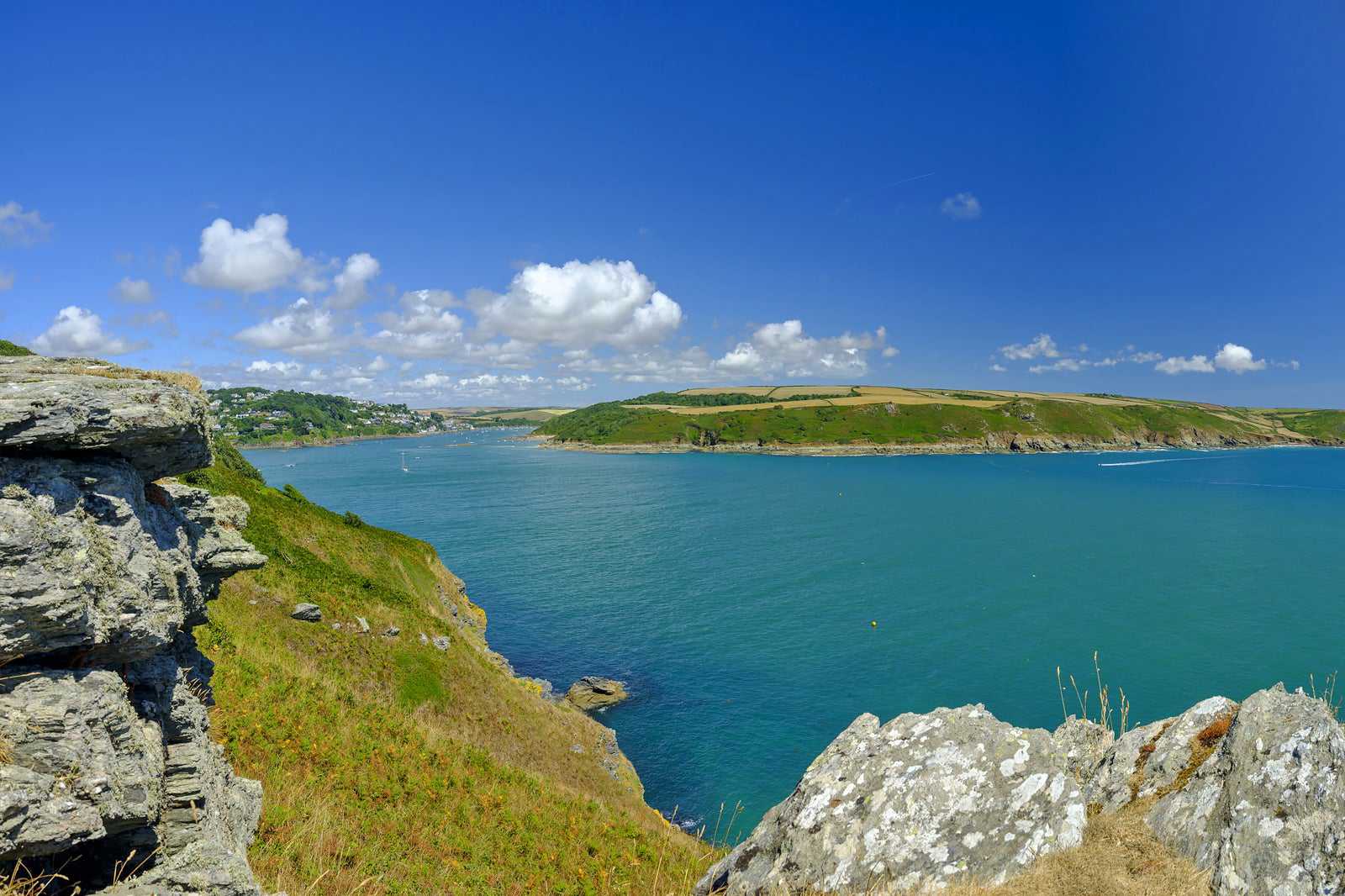
Prawle Point, Devon
Devon coastal walk with dramatic views, pebble beaches and historical links
- Spenning
- Lave priser
- Fotografering
The Prawle Point coastal walk is full of dramatic views, pebble beaches and history. At the southernmost point in Devon, Prawle Point was originally the site of a 13th-century medieval chapel. Today, it’s occupied by the National Coastwatch Institution – a good place to gather information about the walks. Setting off from Prawle point, you continue past cairns and through fields protected by stones believed to be thousands of years old.
Elender Cover is a great place to stop and admire the view out to Gammon Head. Afterwards, head up the hill to approach Gammon Head and continue along to cliffs edge to reach Pigs Nose, the endpoint. When walking be sure to look out for local wildlife, such as green hairstreak and dark green fritillary butterflies, sea birds, cormorants, and razorbills.
Beliggenhet: East Prawle, South Devon, UK
Kart - 2
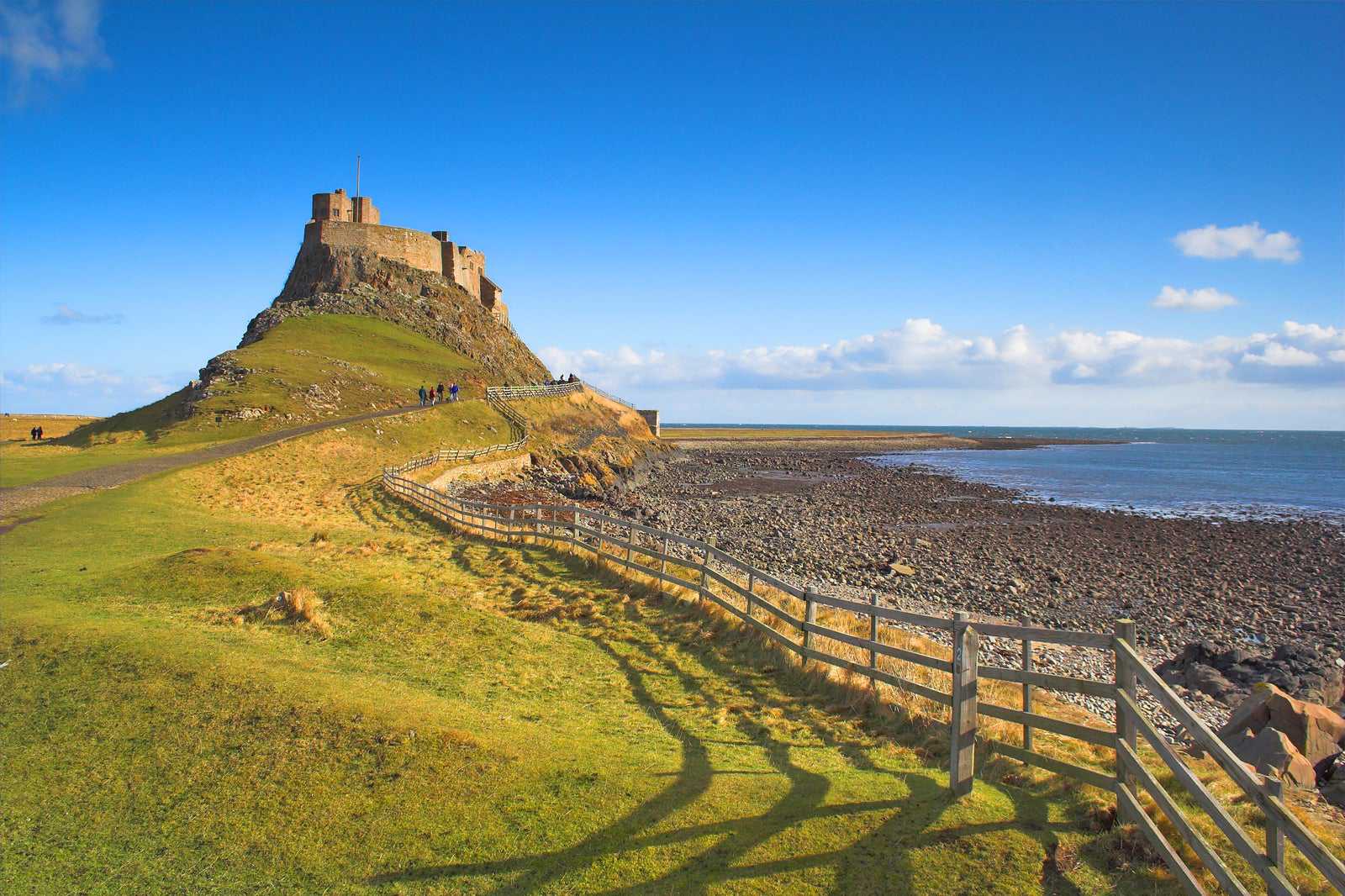
Lindisfarne and Holy Island, Northumberland
A scenic 3-hour walk past beaches, dunes and castles
- Lave priser
- Historie
- Fotografering
The Holy Island circular route has views over the northern beaches and Lindisfarne Castle. As it takes about 3 hours to complete, it's quieter than shorter routes, which allows you to fully enjoy the scenery. The route crosses a stretch of sand dunes known as The Links, which is excellent for birdwatching and almost constant sea views.
Start your walk at Chare Ends, leaving the village of Holy Island. You’ll reach sand dunes ending on wide, wild beaches on the northern shores. Stop in Coves Haven to escape the wind and relax on the beach. After resting, persevere up to the tops of the cliffs – the views are worth it! You’ll see Emmanuel Point and Castle Head Rocks with the sounds of the waves crashing against the flat volcanic rock. Towards the end, stop at the 16th-century Lindisfarne Castle.
Beliggenhet: Holy Island, Berwick-upon-Tweed TD15 2SH, UK
Kart - 3
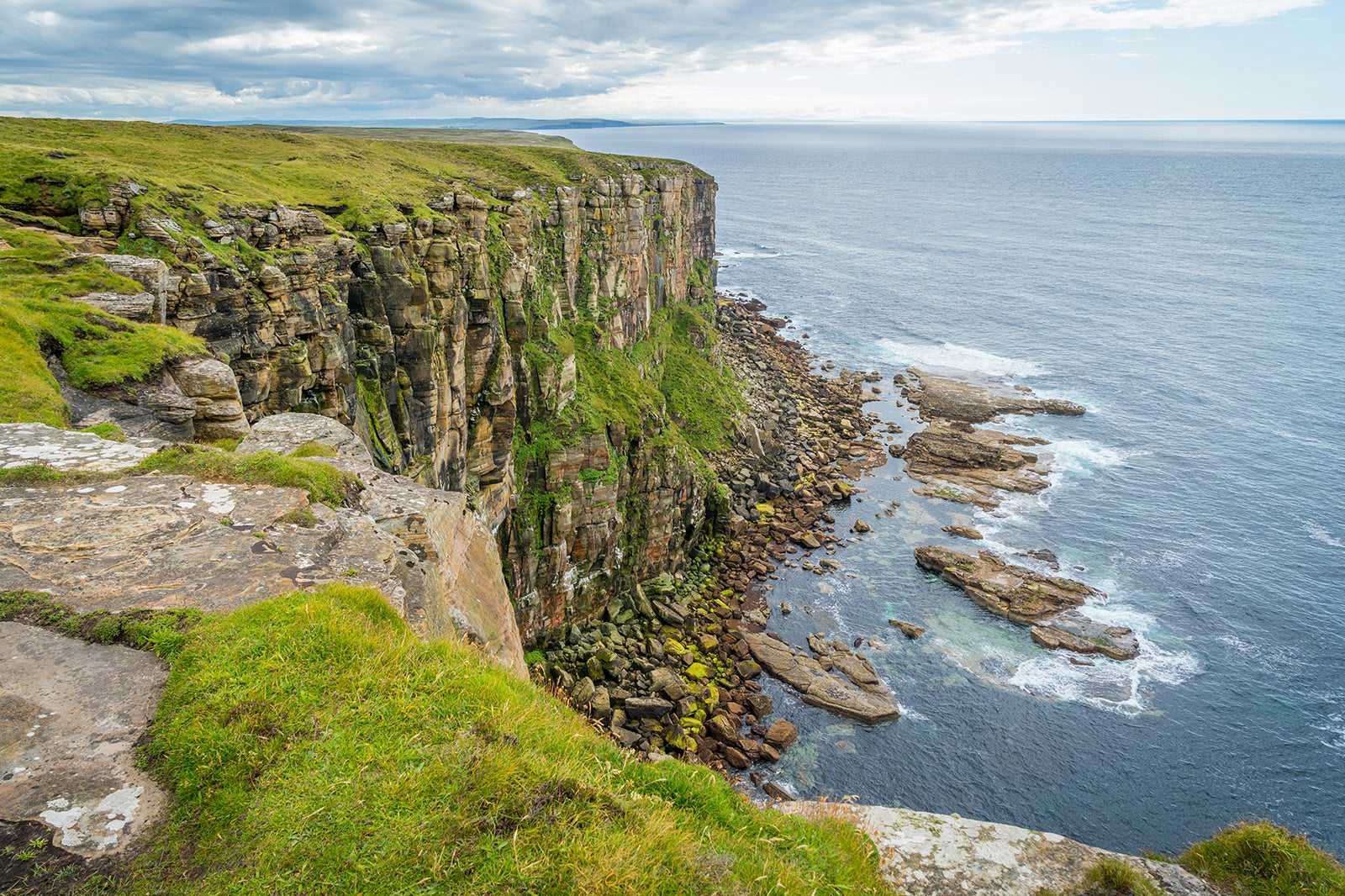
Dunnet Head, Scotland
Hike along the cliffs of northern Britain
- Spenning
- Historie
- Fotografering
Dunnet Head is on the most northerly tip of mainland UK, even further north than the famous John o' Groats. This hiking trail is part of Scotland's North Highland Way, from Thurso up to the headland, where you’ll find a lighthouse and a birdwatching platform. You’ll be walking along steep sandstone cliff edges, so make sure you have suitable hiking gear.
The crashing waves of the North Sea are mesmerising any time of the year, though it’s best to avoid the winter months as the wind, rain and snow can be overwhelming. You'll get to hike through patches of heather in summer, while autumn is an excellent time to see migratory birds. Make sure to grab a selfie with the Dunnet Head sign as a memento of your trip.
Beliggenhet: Dunnet Head, Thurso, Scotland, KW14 8XS, UK
Kart - 4
Formby, Liverpool
Coastal walk where prehistoric footprints can be discovered
- Lave priser
- Familier
- Fotografering
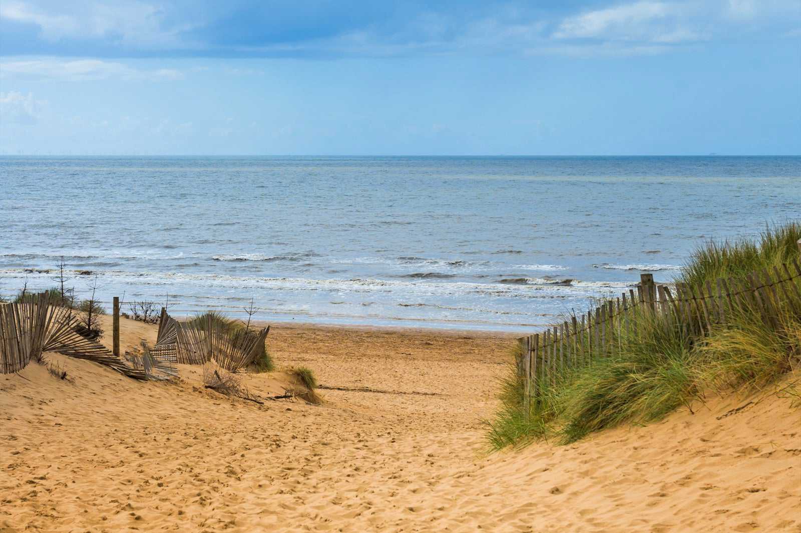
Les merThe Formby coastal walk takes you through woodland paths and shorelines. Starting off through woodland, you’ll reach the Sefton Coastal path on open dunes that lead onto the beach. Look down when walking as you might be able to see footprints of humans and animals from up to 7,500 years ago. This phenomenon only happens a few days each year when silt beds are exposed underneath the sand beaches.
Along the walk, you may notice a change in vegetation as you leave the dunes. However, this not natural and is from dumped tobacco leaf waste in the 1950s by the British National Tobacco company. Boulder-like structures are even visible on the beaches where compacted tobacco leaves have formed small cliffs. Towards the end of your walk, you’ll see expansive flat fields. Once filled with asparagus but, today only the ridges and furrows are left.
Beliggenhet: Victoria Road, Freshfield, Formby, Liverpool, L37 1LJ, UK
Kart - 5
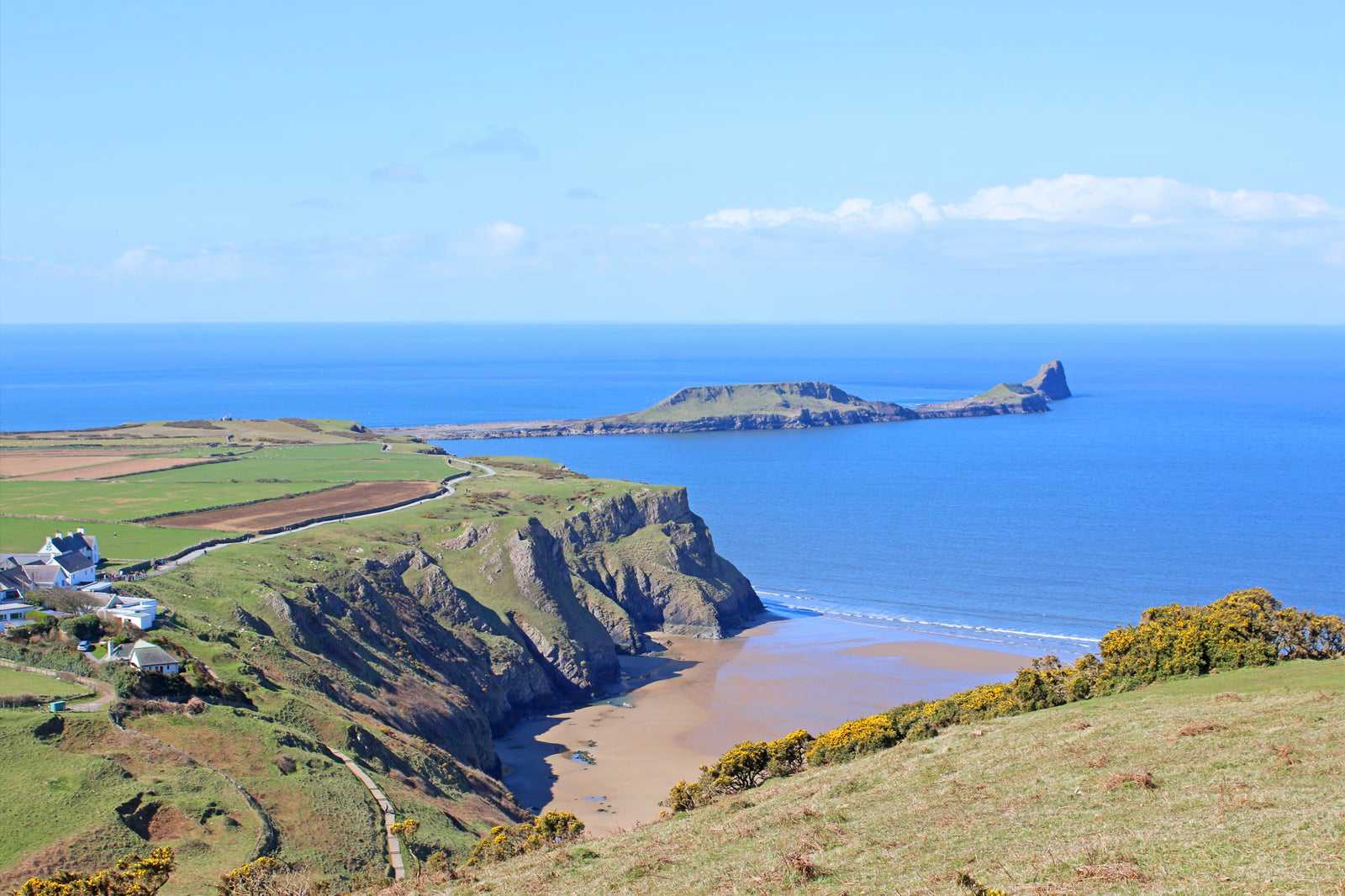
Rhosili Headland, Wales
Beach walk with panoramic views, shipwrecks and 12th-century history
- Lave priser
- Familier
- Historie
- Fotografering
The Rhosili Headland walk takes roughly 1.5 hours and begins with a vantage point overlooking the 3-mile-long Rhosili Beach. Strong currents have resulted in many shipwrecks over the years and, at low tide, the remains of the Helvetia are still visible. Halfway along the beach lies an Iron Age fort ruin, strategically placed for panoramic views. At the end of the beach is the Victorian coastguard lookout with great views of Worms Head.
Continuing past the lookout, you will join a path leading to a kissing gate with the Vile on your left. The Vile is an example of a medieval open-field strip farm from the 12th century. This type of farming is only seen in a handful of places in the UK today. When on your walk, do listen out for Yellowhammer birds, which can be identified because of their bright yellow feathers.
Beliggenhet: Rhossili, Swansea SA3 1PR, UK
Kart - 6
Runkerry, Northern Ireland
Mobility accessible experience of the Giants Causeway without the crowds
- Spenning
- Lave priser
- Fotografering
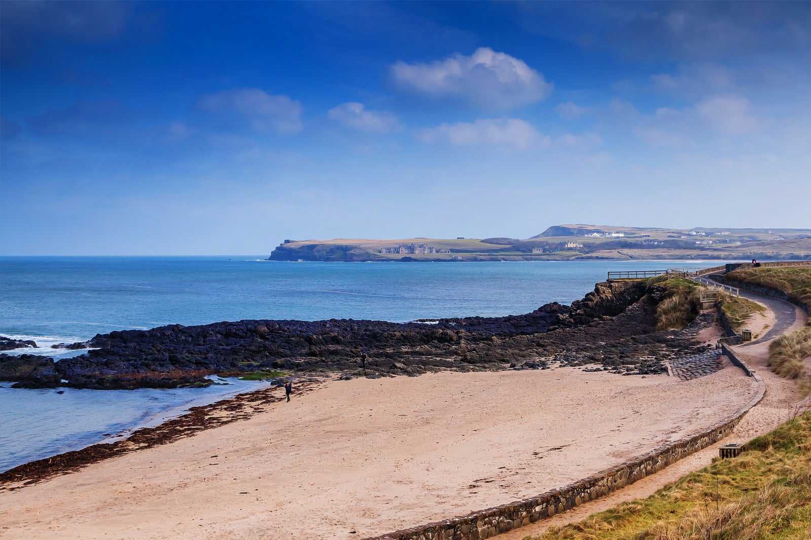
Runkerry is a clifftop walk that offers views of the Giants Causeway and even Scotland on a clear day, with many local birds to spot along the way. This walk is also suitable for those with mobility restrictions, making it great for wheelchairs, prams and young children.
You will begin the walk along the cliff on towards Runkerry Head, with a picnic spot at the end for views of the Causeway stones to the east and Runkerry Head to the west. When you reach Runkerry Head enjoy the green views and Humphrey the giant camel rock. Humphrey is one of the many giant related myths that still enchant visitors to Ireland. Spot various wildlife as you walk, such as breeding skylark, as well as dolphins and porpoises swimming in Portcoon cave.
Beliggenhet: 44a Causeway Road, Bushmills, BT57 8SU, UK
Kart - 7
Blakeney, Norfolk
Long shingle walk, home to England’s largest grey seal colony
- Spenning
- Lave priser
- Fotografering
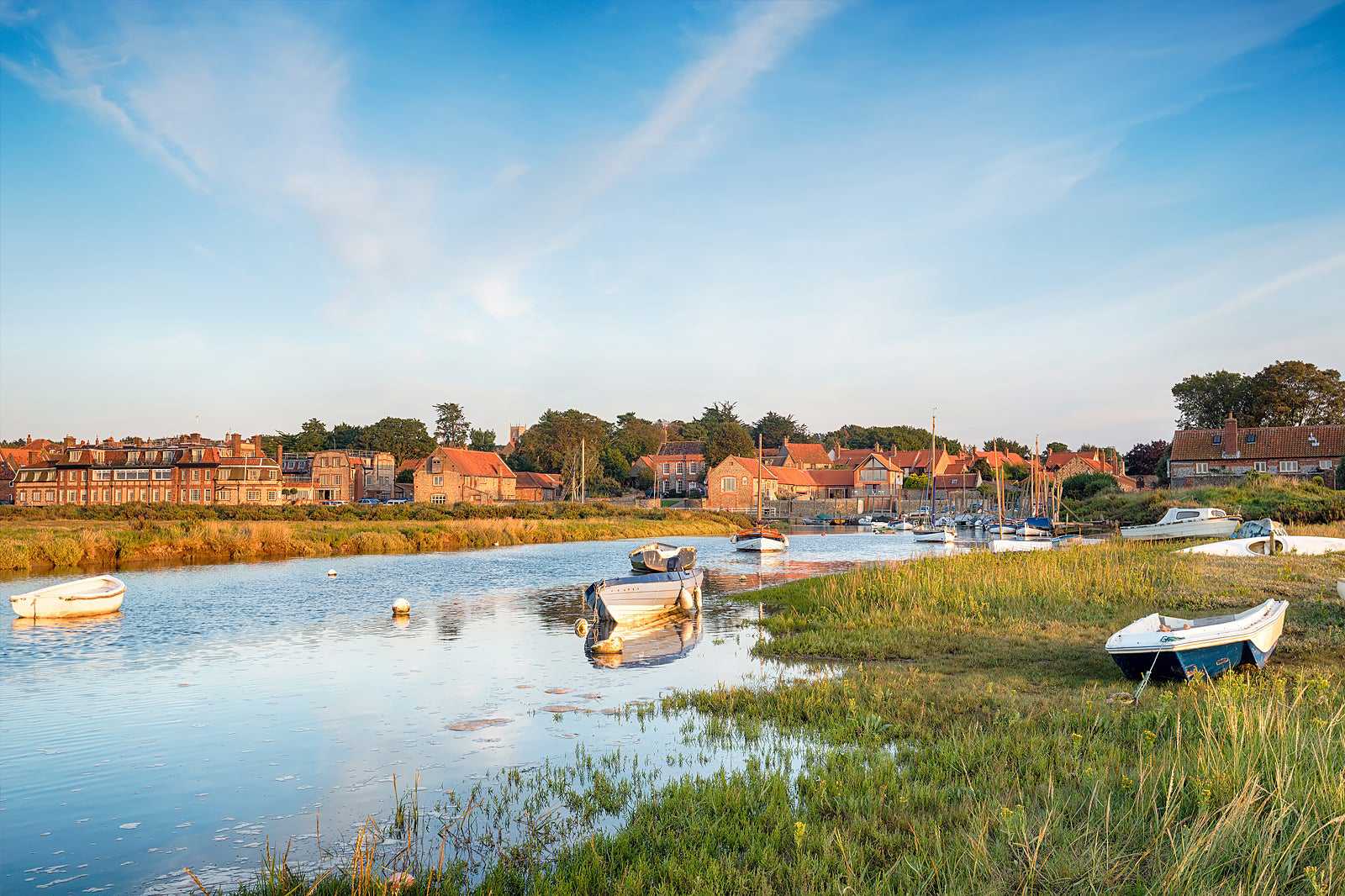
Blakeney Point on the North Norfolk coast is a 3-hour walk on a shingle spit alongside Blakeney National Nature reserve. As this walk is predominantly shingle, it's best for active people who do not mind walking on uneven ground. Blakeney Point is best known for seals, being home to England’s largest grey seal colony. If you're here between November and January, you will see newborn seal pups. The ferocious seal mating season takes place right after January. It's quite a spectacular sight as the bulls fight for the female’s attention.
At the end of Beach way, is the blue old lifeboat house. Today, it's used as a Watcher’s House from April to October during bird breeding season. For a truly special view, walk at sunset and admire the seal colonies over the dunes at the crest of the boardwalk.
Beliggenhet: Blakeney, Holt, NR25 7BE, UK
Kart - 8
Dunwich Heath Beach
Coastal lowland area with rich heathlands filled with wildlife

- Spenning
- Lave priser
- Par
- Fotografering
Dunwich Heath Beach is part of an unspoilt coastal hiking route that's home to many species of birds due to its rich heather and gorse throughout the summer months. These heathlands are unmistakable due to their bright purple colour when in full bloom and line the sides of this walk.
Near the beach, you'll find the Greyfriars ruins of a 13th-century monastery, Mount Pleasant farm (which is being used to restore the area back to grass and heather by the National Trust) and Minsmere Nature Reserve, where you can enter the many hides, including one up a tree, to view animals and birds. Don't miss the Coastguard cottages, with stunning views of the sea and cliffs. By timing it right, you may also be able to stop for a snack at the cottage tea rooms.
Beliggenhet: Coastguard Cottages, Minsmere Rd, Saxmundham IP17 3DJ, UK
Kart - 9
Whitehaven, Cumbria
Dramatic clifftop with mining links, smuggler myths and rare sea birds
- Spenning
- Lave priser
- Par
- Fotografering
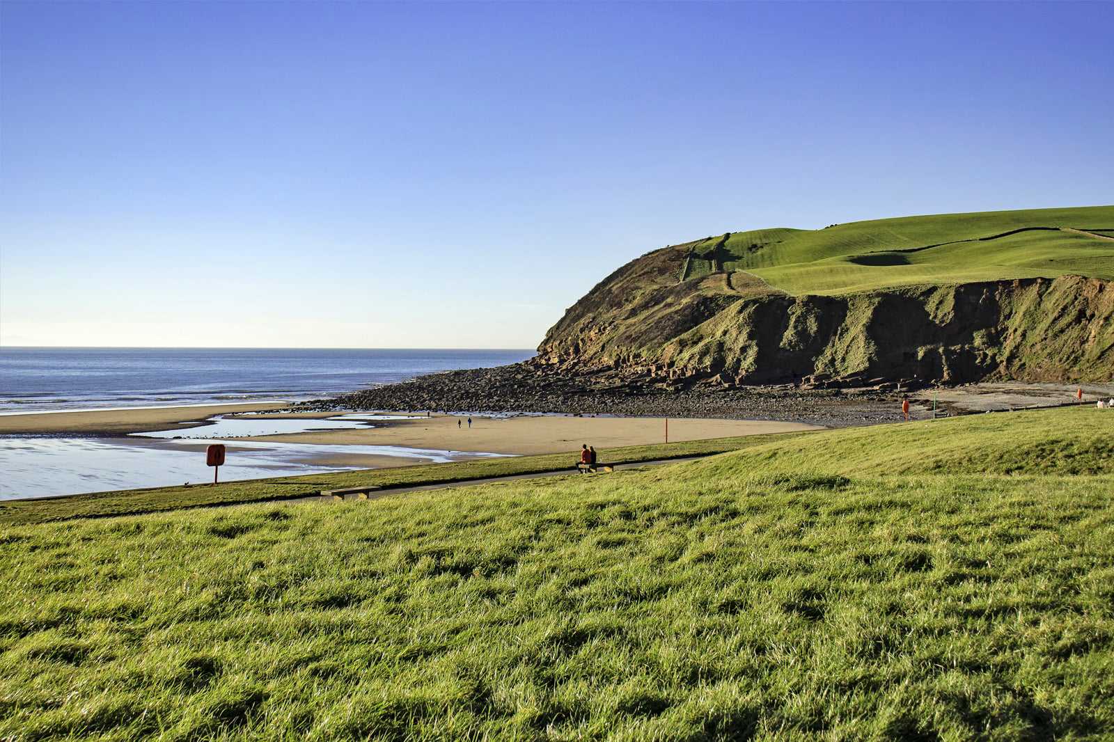
The Whitehaven clifftop walk has dramatic views, hidden gems and fascinating mining history. Beginning at Whitehaven Harbour, head up to The Candlestick (a disused ventilation chimney) and on to the Haig Pit. Once on the clifftop, you’ll walk in the footsteps of alabaster Georgian miners and WW2 soldiers as it’s the site of a top-secret radar station.
Continue to Saltom Pit – England’s first undersea coal mine – and onto St Bees Head. On the English North Coast, St. Bees Head’s red sandstone bluff stands out on this dramatic coastline. It’s said that in Fleswick Bay beneath St Bees Head, the caves were used by smugglers and that even today hidden gemstones lie among the shingle. Finally, visit RSPB nature reserve with 3 viewpoints to enjoy. It’s especially stunning during seabirds' nesting season as St. Bees is the only English nesting site for the black guillemot.
Kart - 10
Old Saltburn, Yorkshire
Panoramic coastal views lined with colourful wildflowers
- Spenning
- Lave priser
- Fotografering
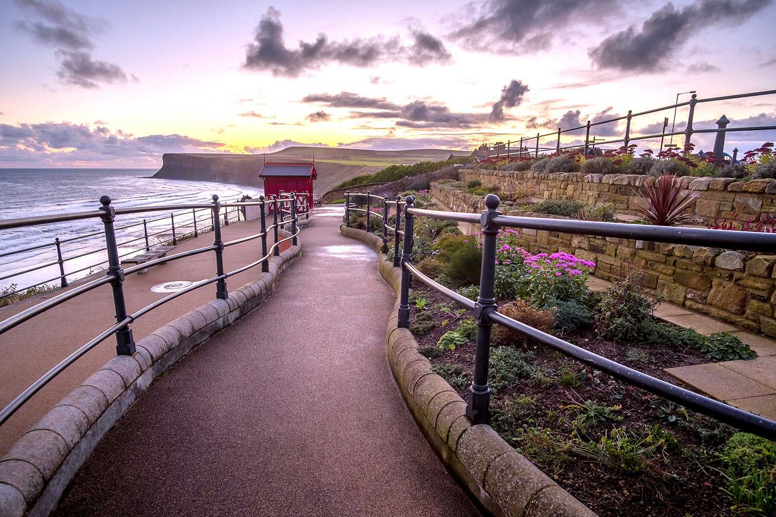
The Old Saltburn walk begins in Victoria village of Saltburn-by-the-sea. The village includes an award-winning pier and ingenious lift, which uses counter-balancing water tanks to take you up the cliff. Here, you can enjoy classic fish and chips or ice cream before starting your walk.
When walking Cleveland Way in summer, it’s filled with colours of wildflowers which have thrived on the unspoilt coastal slopes. Any flower enthusiast should look out for hemp-agrimony, pyramidal orchid and betony. This area of the Yorkshire coast was once mined for ironstone, with many of the 19th-century industrial structures still visible today, including Guibal Fanhouse. Some consider this concrete structure to be unattractive. However, it was vital for miners at the time to filter fresh air and remains as a historical reminder of the coast’s past. Finishing on Warsett Hill you’ll enjoy panoramic coastline views and rural surroundings.
Beliggenhet: Old Saltburn and Warsett Hill, North Yorkshire, TS12 1HF, UK
Kart - 11
Headon Warren, Isle of Wight
Dog-friendly long coastal walk with views of The Needles
- Spenning
- Lave priser
- Historie
- Fotografering
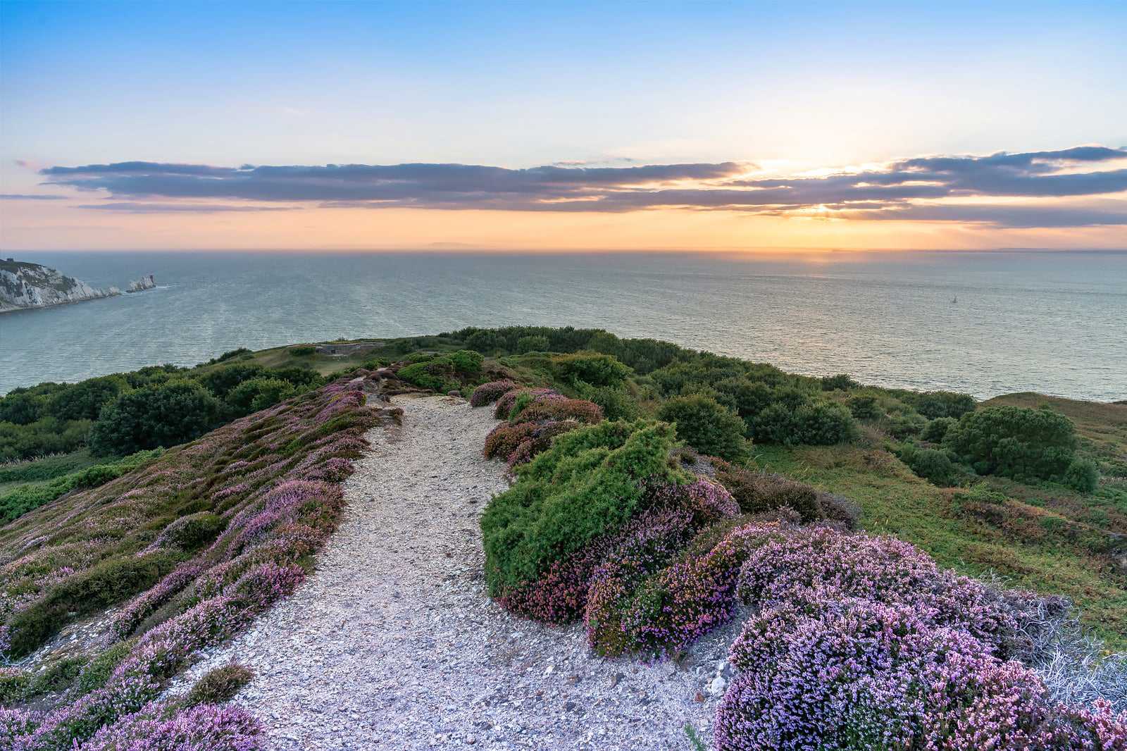
Headon Warren is long and hilly, going from sea level to the top of the Downs means it’s perfect for confident walkers looking for a challenge. It’s also a great option for dog walkers as they can be off-leash for the majority of the walk.
There are many points of interest along Headen Warren. The Needles is a famous sight on the Isle of Wight, where 3 stacks of chalk rise 30 metres out of the sea. Another sight on the walk is Heatherwood Battery, where a fire command station for all the gun batteries in the area was based in the 19th century. The Isle of Wight is known for Bronze Age burial grounds known as burrows. During the walk, you’ll pass an example of a round burrow from the early Bronze Age, dated from 1,700 BC to 1,500 BC.
Beliggenhet: Turf Walk, Cliff Road Totland, PO39 0EH, UK
Kart
